
VICDESSOS, ideally located around a hundred kilometers south of Toulouse and around twenty kilometers from Foix, classified in 2009 as a Regional Natural Park, the territory of Auzat and Vicdessos offers you magnificent natural spaces close to the Bexanelle campsite in Ariège .
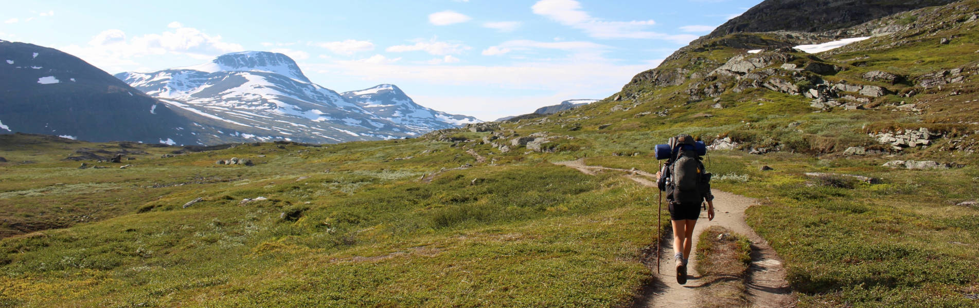
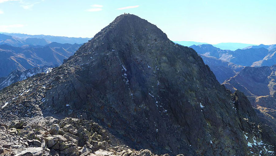
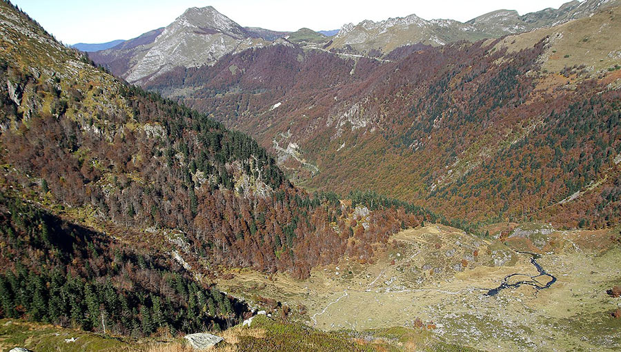
Easily accessible, the valley extends for 30 kilometres to the borders of Andorra and Spain, dominated by the Pyrenean giants of Pique d’Estats (3,143 m), Pic du Montcalm (3,077 m) and Pic de Sullo (3,072 m).
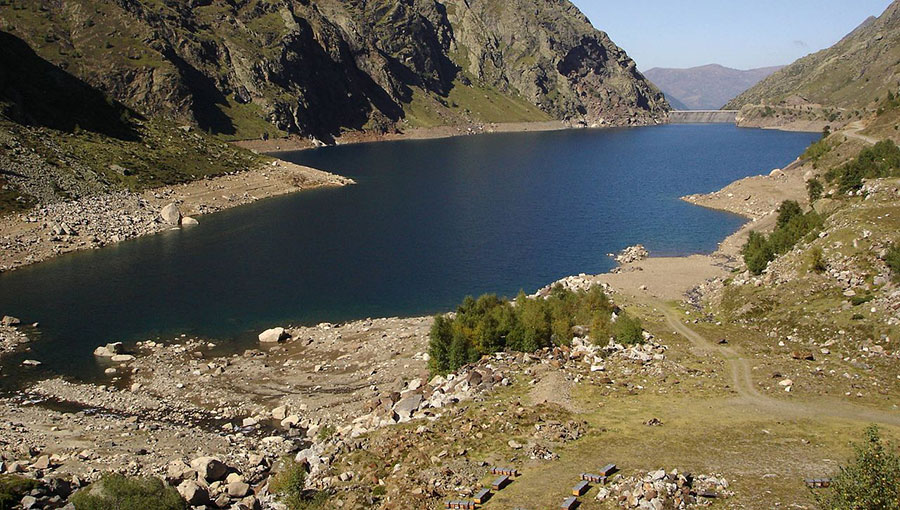
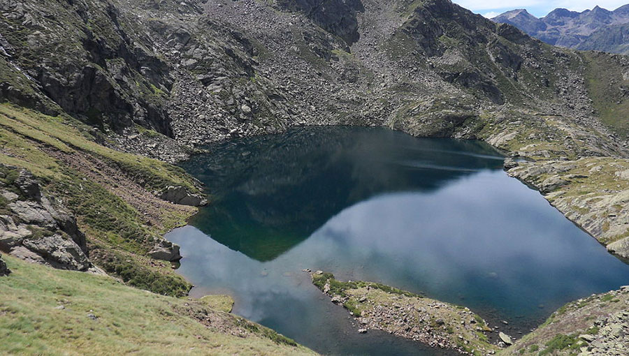
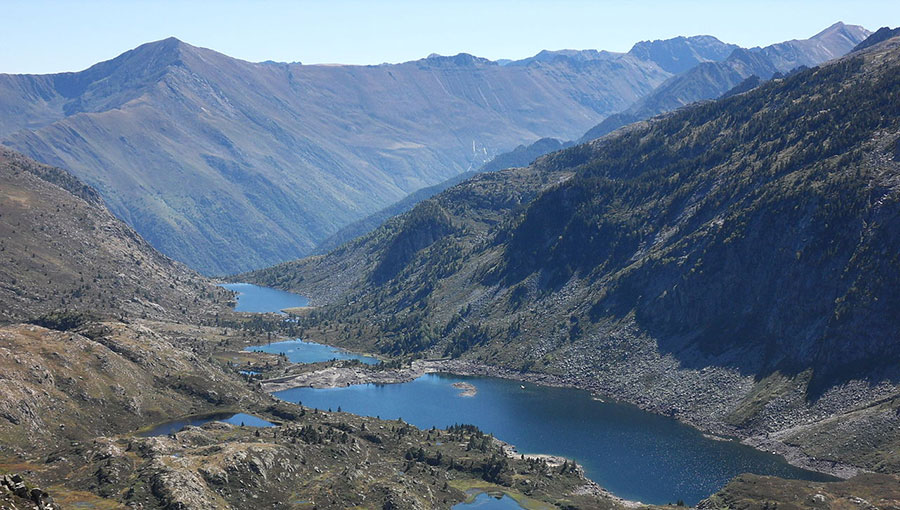
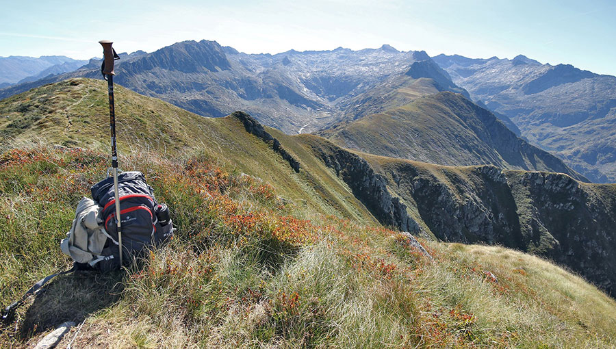
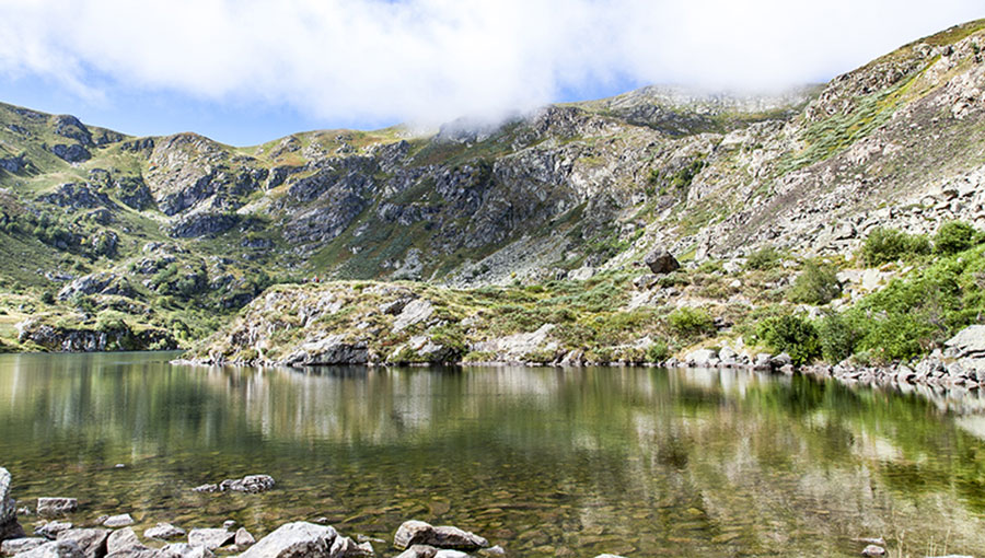
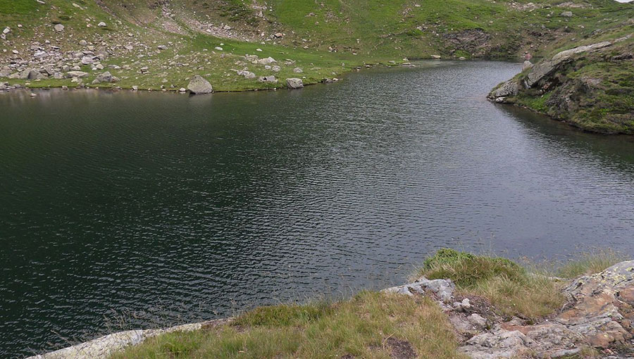
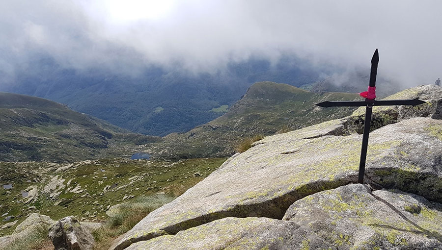
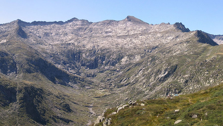
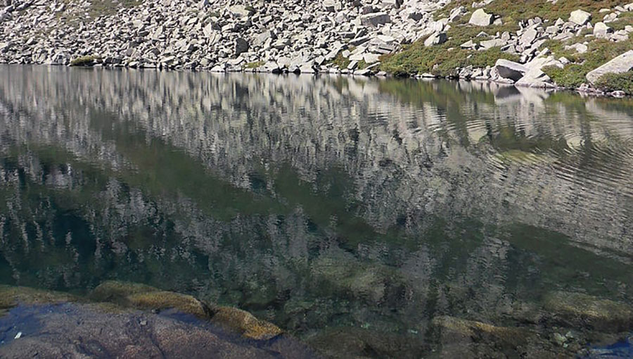
To approach these prestigious sites, a multitude of stunningly beautiful trails , over more than 400 km of maintained and marked paths , between peaks and mountain ponds.
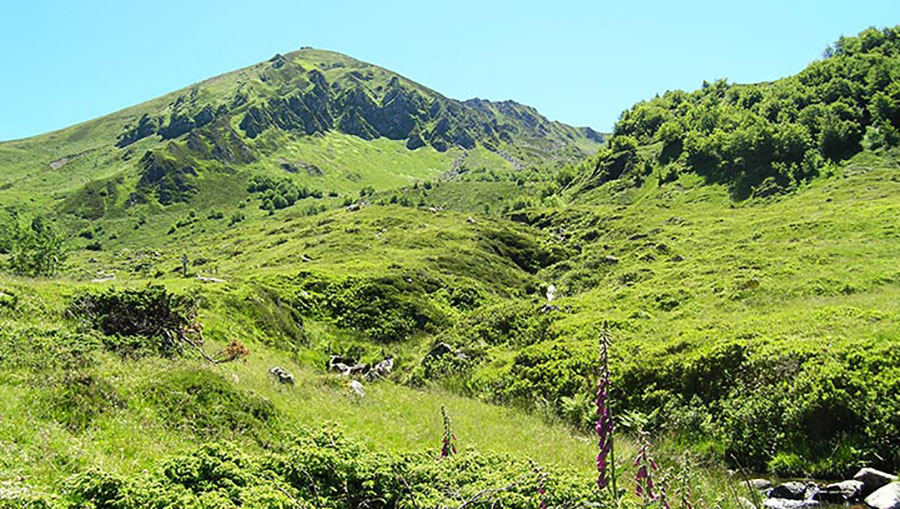
It is a preserved and privileged destination for all hiking enthusiasts , whatever their level, from family walks to sporty climbs.
Come and discover, in the heart of the Ariège Pyrenees , the charms of outdoor mountain sports in Vicdessos, the authenticity of its sites, and of course, traditional mountain hospitality.
The path of the mines goes around, without leaving the woods, of the delicious valley of Shem.
It is a question of following in the footsteps of the former miners of Rancié, following in the footsteps of the past.
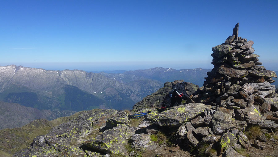
Pic de Cabanatous by the bassiès ponds
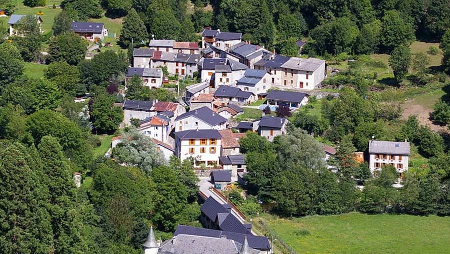
Beautiful loop from the village of Gourbit.
Loop of the Peak of the Three Lords
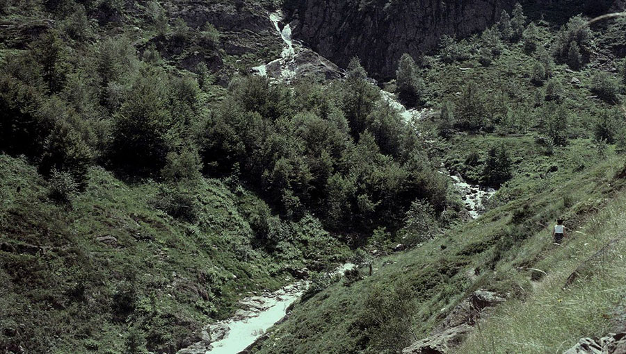
A walk to the artigue waterfalls.
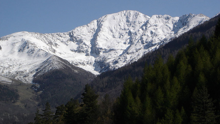
Pique d’Estats (3144m) and Montcalm (3077m)
Girantes Plateau via Labant Pond
Garbettou Circus and Garbet Pond
Tour of Malcaras Peak and its Ponds